Demeter Design · Watershed GIS
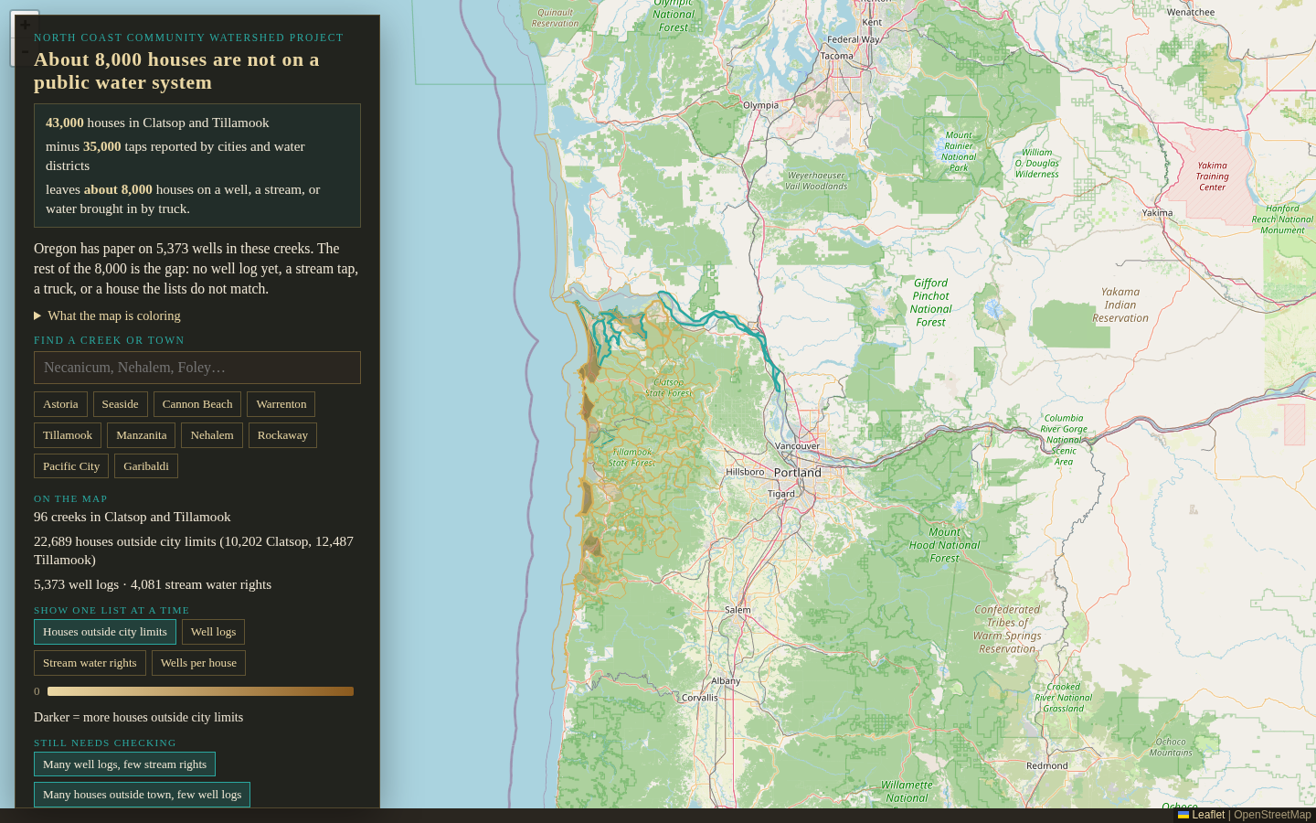
You’re here for geospatial analysis and maps that show who is on wells or streams versus a public water system — and what that means for watershed decisions.
Live map: North Coast Community Watershed Project · NCCWP / Graphic Oregon. Action plans are the written packet after the map.
The skill
Demeter Design builds and interprets watershed GIS — drinking-water and housing overlays, passage, habitat prioritization — then writes the plan a council can fund. Field work follows the map when the agreed scope needs it.
More GIS work
Passage, restoration priority, and rearing habitat — GIS products that become the action plan.
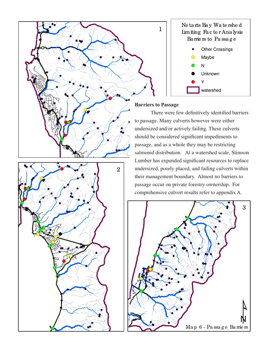
GIS · Passage
A passage map for watershed councils — which crossings block fish, and which to fix first.
Drag the map. Tap a hotspot. Undersized and failing culverts limit fish movement even when few absolute barriers exist. From the published Netarts Bay assessment.
Full study · Demeter Design · Netarts Bay
GIS · Restoration priority
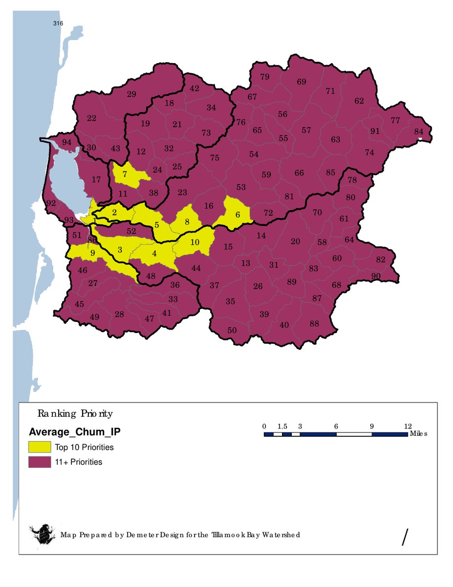
A ranked restoration-habitat map for the work plan.
Ranks restoration reaches using habitat data, surveys, GIS, and existing reports. From the published Tillamook Bay prioritization map.
Full study · Restoration habitat prioritization map · Demeter Design / Graphic Oregon
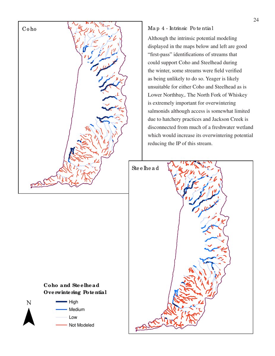
GIS · Habitat / rearing
A habitat map that screens overwintering and summer rearing before field days.
Shows which reaches matter for rearing habitat so field days follow the map. Sampling and analysis can be part of the plan when needed.
Full study · Demeter Design · Netarts Bay
GIS warehouse
Cara’s published watershed papers for Nestucca, Nehalem, Tillamook, Siuslaw, and Netarts. Download the PDF when we have it; otherwise open Academia.
Titles from Cara Dianne on Academia.
Request a quote
Ask for watershed GIS. We reply with scope and timeline. The action plan is the written packet after the map. Fieldwork follows the agreed scope when needed. Mail goes to Graphic Oregon, parent of Demeter Design.